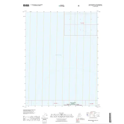
2018 Map of Dixon Entrance D-5 NW
USGS Topo · Published 2018About this map
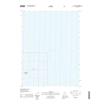
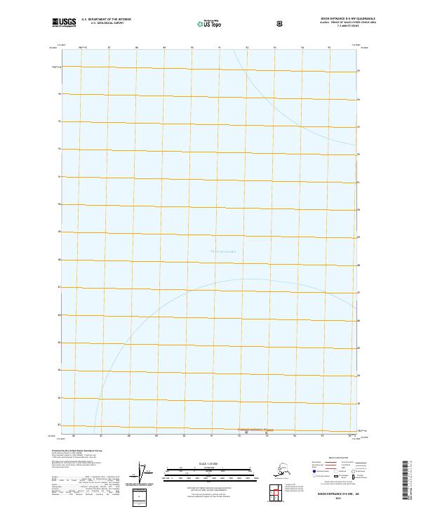
The Gulf of Alaska dominates this maritime survey, illustrating the vast open waters at the edge of the Alexander Archipelago. This portion of the North Pacific is framed by federal conservation boundaries, including the Alaska Maritime National Wildlife Refuge and the Tongass National Forest. The map is characterized by its sparse terrestrial features, focusing instead on the hydrography and public land divisions within the Prince of Wales-Hyder Census Area. The inclusion of cadastral grid lines for t79s r79e, t81s r79e, and t81s r80e provides a structural framework for these protected coastal waters and remote forest lands, marking the intersection of national maritime interests and managed wilderness in the late twenty-first century.
Find a feature on this map
6 named features on this map. Tap any name to fly to it.
Don’t see what you’re looking for? This feature index may not catch every label — zoom into the map to look around manually.
Map Details
Editions of this 2018 Dixon Entrance D-5 NW Map
This is the sole edition of this map. No revisions or reprints were ever made.
Other maps of this area

1948 · Dixon Entrance D-5
USGS Topo · 1:63,360

1948 · Craig A-5
USGS Topo · 1:63,360

1951 · Dixon Entrance
USGS Topo · 1:250,000

1957 · Craig
USGS Topo · 1:250,000

1959 · Dixon Entrance
USGS Topo · 1:250,000
2018 · Dixon Entrance D-6 NE
USGS Topo · 1:25,000
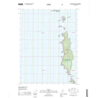
2018 · Dixon Entrance D-5 SW
USGS Topo · 1:25,000
2018 · Dixon Entrance D-6 SE
USGS Topo · 1:25,000
2020 · Craig A-5 SE
USGS Topo · 1:25,000
2021 · Dixon Entrance D-5 NW
USGS Topo · 1:25,000