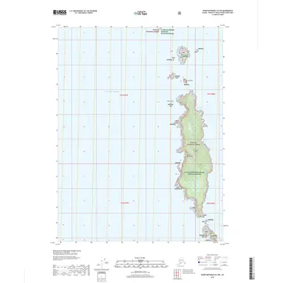
2018 Map of Dixon Entrance D-5 SW
USGS Topo · Published 2018About this map
Forrester Island dominates this 2018 survey of the outer reaches of the Alexander Archipelago, an area primarily defined by its protective environmental status. This isolated landmass, set within the Gulf of Alaska, is managed under the overlapping jurisdictions of the Tongass National Forest and the Alaska Maritime National Wildlife Refuge. The map provides specific detail on coastal inlets such as Eagle Harbor and Wood Cove, alongside smaller outcroppings like Lowrie Island, Sea Lion Rock, and Petrel Island. The lack of human infrastructure or roads reflects the region's role as a critical habitat for seabirds and marine mammals, with only Butler Rock and other rocky features punctuating the shoreline of this remote maritime preserve.
Find a feature on this map
17 named features on this map. Tap any name to fly to it.
Don’t see what you’re looking for? This feature index may not catch every label — zoom into the map to look around manually.
Map Details
Editions of this 2018 Dixon Entrance D-5 SW Map
This is the sole edition of this map. No revisions or reprints were ever made.
Other maps of this area

1948 · Dixon Entrance D-5
USGS Topo · 1:63,360

1951 · Dixon Entrance
USGS Topo · 1:250,000

1959 · Dixon Entrance
USGS Topo · 1:250,000
2018 · Dixon Entrance D-5 NW
USGS Topo · 1:25,000
2018 · Dixon Entrance D-6 NE
USGS Topo · 1:25,000
2018 · Dixon Entrance D-6 SE
USGS Topo · 1:25,000
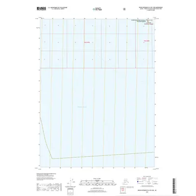
2018 · Dixon Entrance D-5 OE S NW
USGS Topo · 1:25,000
2021 · Dixon Entrance D-5 NW
USGS Topo · 1:25,000
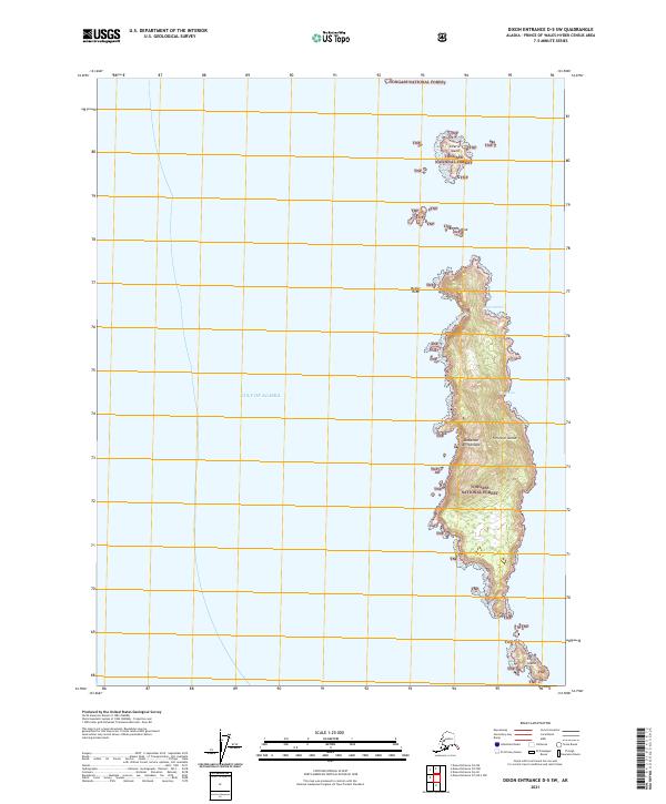
2021 · Dixon Entrance D-5 SW
USGS Topo · 1:25,000
2021 · Dixon Entrance D-5 OE S NW
USGS Topo · 1:25,000