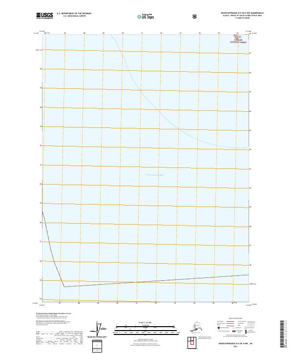
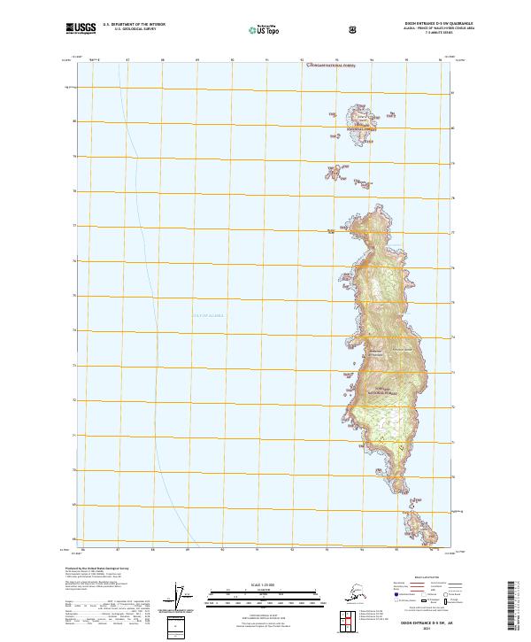
2021 Map of Dixon Entrance D-5 OE S NW
USGS Topo · Published 2021About this map
The Gulf of Alaska dominates this coastal survey, where the open maritime expanse meets the rocky southern fringes of the Alexander Archipelago. Managed by the Alaska Maritime National Wildlife Refuge, the area represents a remote intersection of protected wilderness and rugged seafaring territory. The only named terrestrial feature within this maritime quadrangle is South Rock, located at the northeastern edge of the sheet. Most of the northern land territory is situated within the Tongass National Forest, illustrating the vast reach of federal conservation lands in Southeast Alaska. This map highlights the sparse, nearly unpopulated nature of the outer islands, where the landscape is defined by the heavy Pacific influence and the complex administrative boundaries of the national forest and wildlife systems.
Find a feature on this map
6 named features on this map. Tap any name to fly to it.
Don’t see what you’re looking for? This feature index may not catch every label — zoom into the map to look around manually.
Map Details
Editions of this 2021 Dixon Entrance D-5 OE S NW Map
This is the sole edition of this map. No revisions or reprints were ever made.
Other maps of this area

1948 · Dixon Entrance D-5
USGS Topo · 1:63,360

1951 · Dixon Entrance
USGS Topo · 1:250,000

1959 · Dixon Entrance
USGS Topo · 1:250,000
2018 · Dixon Entrance D-5 SW
USGS Topo · 1:25,000
2018 · Dixon Entrance D-6 SE
USGS Topo · 1:25,000
2018 · Dixon Entrance D-5 OE S NW
USGS Topo · 1:25,000
2021 · Dixon Entrance D-5 SW
USGS Topo · 1:25,000