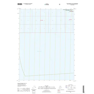
2018 Map of Dixon Entrance D-5 OE S NW
USGS Topo · Published 2018About this map
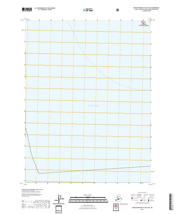
Alaska Maritime National Wildlife Refuge and the Tongass National Forest intersect at the northern edge of this maritime quadrangle, where the terrestrial wilderness of the Alaska panhandle meets the open sea. The map is dominated by the expansive waters of the Pacific Ocean, providing a precise record of the shoreline and coastal boundaries in the Dixon Entrance area as they were surveyed in 2018. A singular maritime hazard, South Rock, is identified in the northeast corner, serving as a critical waypoint for navigating these northern waters. This map preserves the remote character of the Unorganized Borough, highlighting the administrative township boundaries of t82s r79e and t82s r80e within these vast protected federal lands.
Find a feature on this map
6 named features on this map. Tap any name to fly to it.
Don’t see what you’re looking for? This feature index may not catch every label — zoom into the map to look around manually.
Map Details
Editions of this 2018 Dixon Entrance D-5 OE S NW Map
This is the sole edition of this map. No revisions or reprints were ever made.
Other maps of this area

1948 · Dixon Entrance D-5
USGS Topo · 1:63,360

1951 · Dixon Entrance
USGS Topo · 1:250,000

1959 · Dixon Entrance
USGS Topo · 1:250,000
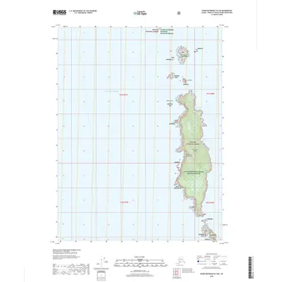
2018 · Dixon Entrance D-5 SW
USGS Topo · 1:25,000
2018 · Dixon Entrance D-6 SE
USGS Topo · 1:25,000
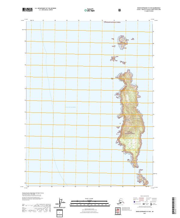
2021 · Dixon Entrance D-5 SW
USGS Topo · 1:25,000
2021 · Dixon Entrance D-5 OE S NW
USGS Topo · 1:25,000