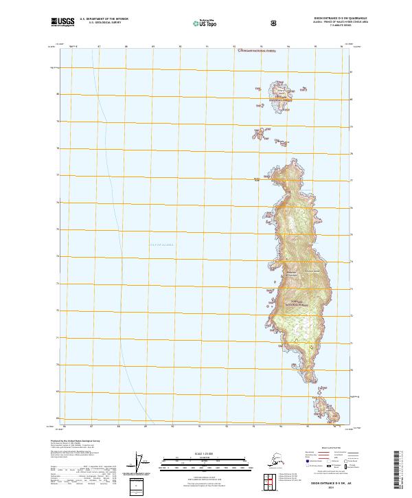
2021 Map of Dixon Entrance D-5 SW
USGS Topo · Published 2021About this map
Forrester Island dominates this maritime survey, standing as a prominent landmass within the Alaska Maritime National Wildlife Refuge and the Tongass National Forest. Located in the Alexander Archipelago at the edge of the Gulf of Alaska, the island's coastline is marked by indentations such as Eagle Harbor and Wood Cove. This isolated terrain serves as a vital ecological site, surrounded by smaller offshore features including Lowrie Island, Petrel Island, and Butler Rock. The map illustrates the island's steep topography and the absence of human infrastructure, highlighting its status as a protected wilderness area. The boundaries of the Amnwr and TNF emphasize the intersection of various federal conservation jurisdictions in this remote portion of the Alexander Archipelago.
Find a feature on this map
17 named features on this map. Tap any name to fly to it.
Don’t see what you’re looking for? This feature index may not catch every label — zoom into the map to look around manually.
Map Details
Editions of this 2021 Dixon Entrance D-5 SW Map
This is the sole edition of this map. No revisions or reprints were ever made.
Other maps of this area

1948 · Dixon Entrance D-5
USGS Topo · 1:63,360

1951 · Dixon Entrance
USGS Topo · 1:250,000

1959 · Dixon Entrance
USGS Topo · 1:250,000
2018 · Dixon Entrance D-5 NW
USGS Topo · 1:25,000
2018 · Dixon Entrance D-6 NE
USGS Topo · 1:25,000
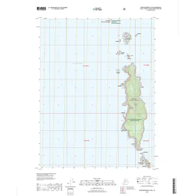
2018 · Dixon Entrance D-5 SW
USGS Topo · 1:25,000
2018 · Dixon Entrance D-6 SE
USGS Topo · 1:25,000
2018 · Dixon Entrance D-5 OE S NW
USGS Topo · 1:25,000
2021 · Dixon Entrance D-5 NW
USGS Topo · 1:25,000
2021 · Dixon Entrance D-5 OE S NW
USGS Topo · 1:25,000