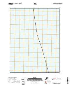
2018 Map of Dixon Entrance D-6 SE
USGS Topo · Published 2018About this map
The Gulf of Alaska dominates this maritime survey, providing a clear view of the open waters off the coast of the Prince of Wales-Hyder Census Area. This sheet captures a remote marine environment where the primary navigational and administrative markers are the Public Land Survey System boundaries, specifically T81s R79e and T82s R79e. While the map lacks terrestrial settlements or landmarks, it serves as a precise record of the offshore coordinates and the vast expanse of the northern Pacific. Researchers interested in maritime boundaries or the specific hydrographic layout of this corner of Alaska will find the exact positioning of these township and range lines useful for tracking geographic data in a region defined by its oceanic character.
Find a feature on this map
9 named features on this map. Tap any name to fly to it.
Don’t see what you’re looking for? This feature index may not catch every label — zoom into the map to look around manually.
Map Details
Editions of this 2018 Dixon Entrance D-6 SE Map
This is the sole edition of this map. No revisions or reprints were ever made.
Other maps of this area

1948 · Dixon Entrance D-5
USGS Topo · 1:63,360

1951 · Dixon Entrance
USGS Topo · 1:250,000

1959 · Dixon Entrance
USGS Topo · 1:250,000
2018 · Dixon Entrance D-5 NW
USGS Topo · 1:25,000
2018 · Dixon Entrance D-6 NE
USGS Topo · 1:25,000
2018 · Dixon Entrance D-5 SW
USGS Topo · 1:25,000
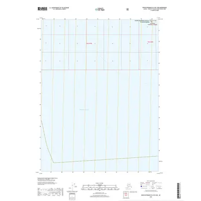
2018 · Dixon Entrance D-5 OE S NW
USGS Topo · 1:25,000
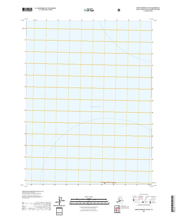
2021 · Dixon Entrance D-5 NW
USGS Topo · 1:25,000
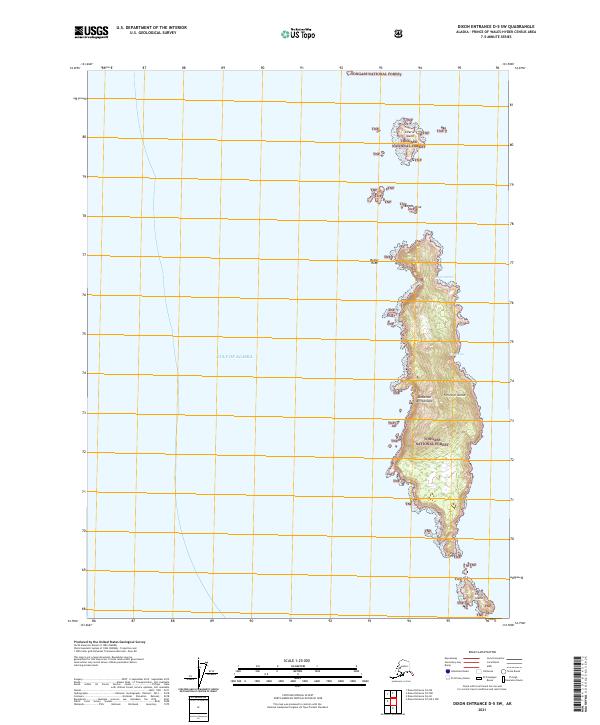
2021 · Dixon Entrance D-5 SW
USGS Topo · 1:25,000
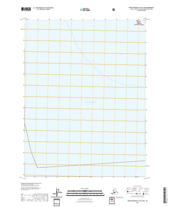
2021 · Dixon Entrance D-5 OE S NW
USGS Topo · 1:25,000