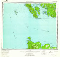
1959 Map of Dixon Entrance
USGS Topo · Published 1960About this map
Dixon Entrance defines the international boundary between Alaska and British Columbia in this late 1950s survey, revealing a landscape of remote island outposts and maritime industry. Along the southern coast of Prince Of Wales Island, several historic locations are identified as sites rather than active settlements, including Howkan, Koianglas, and Kaigani, reflecting the shifting population patterns of the Haida people. Evidence of the region's economic reliance on the sea is found at the Cannery on the northern coast of Long Island and in the bustling activity near Masset Harbour on Graham Island.
Find a feature on this map
77 named features on this map. Tap any name to fly to it.
Don’t see what you’re looking for? This feature index may not catch every label — zoom into the map to look around manually.
Map Details
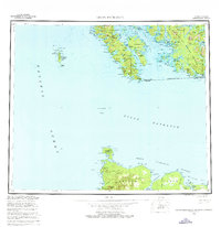
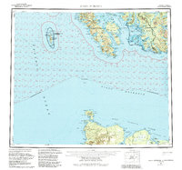
Editions of this 1959 Dixon Entrance Map
4 editions found

Other maps of this area

1948 · Craig A-4
USGS Topo · 1:63,360

1948 · Dixon Entrance D-5
USGS Topo · 1:63,360

1948 · Craig A-5
USGS Topo · 1:63,360

1948 · Dixon Entrance D-2
USGS Topo · 1:63,360

1948 · Prince Rupert D-6
USGS Topo · 1:63,360
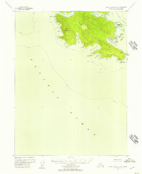
1948 · Dixon Entrance C-3
USGS Topo · 1:63,360

1948 · Dixon Entrance C-1
USGS Topo · 1:63,360

1948 · Dixon Entrance D-4
USGS Topo · 1:63,360

1948 · Ketchikan A-6
USGS Topo · 1:63,360

1948 · Craig A-1
USGS Topo · 1:63,360