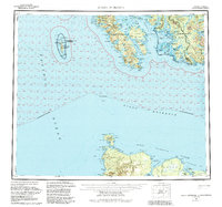
1959 Map of Dixon Entrance
USGS Topo · Published 1985About this map
Howkan, Koianglas, and Kaigani appear as historical sites along the southern fringes of Prince of Wales Island, illustrating the traditional Haida settlement patterns before major relocations. This maritime survey documents the complex international boundary at Dixon Entrance, where the waters of the Pacific Ocean meet the Queen Charlotte Islands of British Columbia. The map records a Military Camp on Forrester Island, a remote outpost within the Forrester Island Wilderness. On Graham Island to the south, the transition from Old Masset to the newer settlement of Masset is visible along the shores of Masset Harbour. The inland terrain is marked by significant elevations like Bokan Mountain and Pivot Mt, while the seafloor is defined by the submerged Learmonth Bank.
Find a feature on this map
57 named features on this map. Tap any name to fly to it.
Don’t see what you’re looking for? This feature index may not catch every label — zoom into the map to look around manually.
Map Details
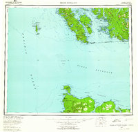
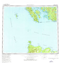
Editions of this 1959 Dixon Entrance Map
4 editions found

Other maps of this area

1948 · Craig A-4
USGS Topo · 1:63,360

1948 · Dixon Entrance D-5
USGS Topo · 1:63,360

1948 · Craig A-5
USGS Topo · 1:63,360

1948 · Dixon Entrance D-2
USGS Topo · 1:63,360

1948 · Prince Rupert D-6
USGS Topo · 1:63,360
1948 · Dixon Entrance C-3
USGS Topo · 1:63,360

1948 · Dixon Entrance C-1
USGS Topo · 1:63,360

1948 · Dixon Entrance D-4
USGS Topo · 1:63,360

1948 · Ketchikan A-6
USGS Topo · 1:63,360

1948 · Craig A-1
USGS Topo · 1:63,360