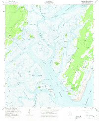
1954 Map of Doboy Sound
USGS Topo · Published 1974About this map
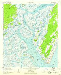
Sapelo Island dominates this coastal survey, appearing as a complex network of barrier land and tidal marshes before modern development altered much of the Georgia shoreline. The settlement of Sapelo and the nearby Hog Hammock community are situated on the island's eastern side, served by a Landing Field and protected by Cabretta Island along the Atlantic Ocean. To the west, the Intracoastal Waterway threads through a labyrinth of saltwater passages including the Shellbluff River, New Teakettle Creek, and the expansive Doboy Sound.
Find a feature on this map
57 named features on this map. Tap any name to fly to it.
Don’t see what you’re looking for? This feature index may not catch every label — zoom into the map to look around manually.
Map Details
Editions of this 1954 Doboy Sound Map
2 editions found
Other maps of this area

1920 · Sapelo River
USGS Topo · 1:62,500

1920 · Cabretta Island
USGS Topo · 1:62,500

1921 · Darien
USGS Topo · 1:62,500

1928 · St Catherines Island
USGS Topo · 1:62,500

1943 · St Catherines Island
USGS Topo · 1:62,500

1943 · Sapelo River
USGS Topo · 1:62,500

1944 · Cabretta Island
USGS Topo · 1:62,500

1945 · St. Catherine's Island
USGS Topo · 1:62,500

1945 · Sapelo River
USGS Topo · 1:62,500

1946 · Brunswick
USGS Topo · 1:250,000