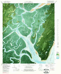
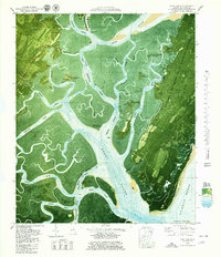
1979 Map of Doboy Sound
USGS Topo · Published 1979About this map
Sapelo Island and its intricate network of tidal waterways dominate this 1970s orthophotomap, showing the Georgia coast at a time when the Richard J Reynolds State Wildlife Refuge preserved much of the landscape. The map reveals the deep intersection of human history and maritime geography, from the Old Sailors Burying Grounds near Patterson Island to the Ruins and Indian Mound found on the larger islands. Along the Duplin River, the presence of the University of Georgia Marine Institute and the Sapelo Island Sch reflects the ongoing scientific and community life on these isolated landmasses.
Find a feature on this map
77 named features on this map. Tap any name to fly to it.
Don’t see what you’re looking for? This feature index may not catch every label — zoom into the map to look around manually.
Map Details
Editions of this 1979 Doboy Sound Map
2 editions found
Other maps of this area

1920 · Sapelo River
USGS Topo · 1:62,500

1920 · Cabretta Island
USGS Topo · 1:62,500

1921 · Darien
USGS Topo · 1:62,500

1928 · St Catherines Island
USGS Topo · 1:62,500

1943 · St Catherines Island
USGS Topo · 1:62,500

1943 · Sapelo River
USGS Topo · 1:62,500

1944 · Cabretta Island
USGS Topo · 1:62,500

1945 · St. Catherine's Island
USGS Topo · 1:62,500

1945 · Sapelo River
USGS Topo · 1:62,500

1946 · Brunswick
USGS Topo · 1:250,000