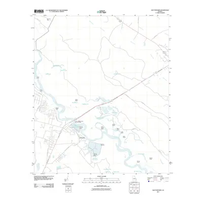
2011 Map of Doctortown
USGS Topo · Published 2011About this map
Doctortown sits at a critical crossing of the Altamaha River, where the J Alvin Leaphart Senior Memorial Bridge and a prominent railroad corridor span the water. This 2011 survey highlights an industrial and riverine landscape dominated by the substantial water management systems of the Rayonier facility, including Rayonier Lake South, Rayonier Lake North, and their associated dams. The surrounding terrain is a complex network of river bends and low-lying wetlands, featuring a series of named islands and bluffs that define the local geography.
Find a feature on this map
55 named features on this map. Tap any name to fly to it.
Don’t see what you’re looking for? This feature index may not catch every label — zoom into the map to look around manually.
Map Details
Editions of this 2011 Doctortown Map
This is the sole edition of this map. No revisions or reprints were ever made.
Other maps of this area

1918 · Jesup
USGS Topo · 1:62,500

1918 · Hinesville
USGS Topo · 1:62,500

1920 · Glennville
USGS Topo · 1:62,500

1943 · Ludowici
USGS Topo · 1:62,500

1943 · Jesup
USGS Topo · 1:62,500

1944 · Glennville
USGS Topo · 1:62,500

1944 · Hinesville
USGS Topo · 1:62,500

1946 · Brunswick
USGS Topo · 1:250,000

1948 · Brunswick
USGS Topo · 1:250,000

1950 · Glennville
USGS Topo · 1:62,500