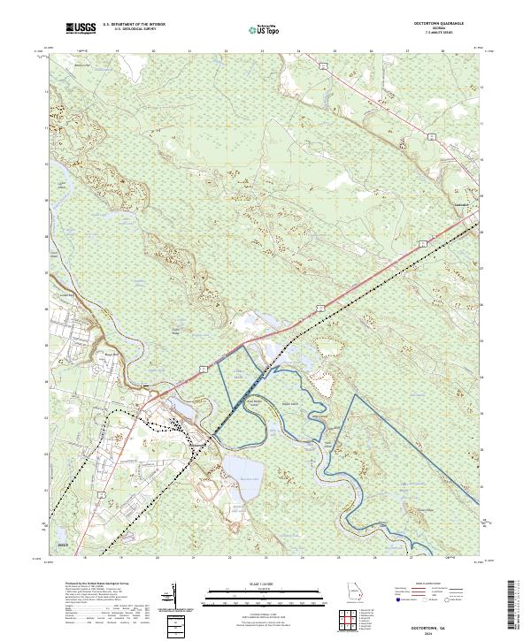
2024 Map of Doctortown
USGS Topo · Published 2024About this map
The Altamaha River carves a winding path through the borderlands of Long and Wayne Counties, defining a landscape of dense river bottoms and industrial water management. The settlement of Doctortown sits at a critical junction where the CSX railroad crosses the river, a site historically vital for transit and the local timber and pulp industries. Nearby, Rayonier Lake and Rayonier Lake South indicate the footprint of significant land use tied to these resources.
Find a feature on this map
95 named features on this map. Tap any name to fly to it.
Don’t see what you’re looking for? This feature index may not catch every label — zoom into the map to look around manually.
Map Details
Editions of this 2024 Doctortown Map
This is the sole edition of this map. No revisions or reprints were ever made.
Other maps of this area

1918 · Jesup
USGS Topo · 1:62,500

1918 · Hinesville
USGS Topo · 1:62,500

1920 · Glennville
USGS Topo · 1:62,500

1943 · Ludowici
USGS Topo · 1:62,500

1943 · Jesup
USGS Topo · 1:62,500

1944 · Glennville
USGS Topo · 1:62,500

1944 · Hinesville
USGS Topo · 1:62,500

1946 · Brunswick
USGS Topo · 1:250,000

1948 · Brunswick
USGS Topo · 1:250,000

1950 · Glennville
USGS Topo · 1:62,500