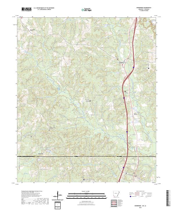
2024 Map of Doddridge
USGS Topo · Published 2024About this map
Brightstar and Doddridge anchor this landscape where the Red River Valley uplands meet the northern Louisiana border. The terrain is defined by the intricate drainage of West Fork Kelly Bayou and its numerous tributaries, such as Day Branch and Pill Branch. This area is characterized by a high density of rural religious and commemorative sites, suggesting a deep-rooted social history tied to small agricultural clusters. To the south, the settlement of Ida sits just across the Arkansas Louisiana state line in Caddo Parish, while Kiblah and Capps City represent established communities within Miller County.
Find a feature on this map
87 named features on this map. Tap any name to fly to it.
Don’t see what you’re looking for? This feature index may not catch every label — zoom into the map to look around manually.
Map Details
Editions of this 2024 Doddridge Map
This is the sole edition of this map. No revisions or reprints were ever made.
Other maps of this area

1907 · Atlanta
USGS Topo · 1:62,500

1910 · Atlanta
USGS Topo · 1:62,500

1932 · Hosston NW
USGS Topo · 1:31,680

1932 · Hosston NE
USGS Topo · 1:31,680

1944 · Kildare
USGS Topo · 1:62,500

1948 · Kildare
USGS Topo · 1:62,500

1948 · Vivian
USGS Topo · 1:62,500

1952 · Doddridge SE
USGS Topo · 1:24,000

1952 · Doddridge NW
USGS Topo · 1:24,000

1952 · Doddridge
USGS Topo · 1:24,000