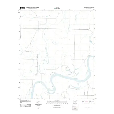
2011 Map of Doddridge NE
USGS Topo · Published 2011About this map
The meandering Red River defines the southern landscape of this Miller County region, carving deep oxbows such as Slay Bend and Brown Bend. The river's influence is visible in the network of legacy waterways, most notably the Old Channel McKinney Bayou, which snakes through the central plains. This intricate drainage pattern, including Boggy Creek and Prairie Creek, created a complex environment for early settlement and transport, evidenced by local landmarks like the Beloh Bridge.
Find a feature on this map
31 named features on this map. Tap any name to fly to it.
Don’t see what you’re looking for? This feature index may not catch every label — zoom into the map to look around manually.
Map Details
Editions of this 2011 Doddridge NE Map
This is the sole edition of this map. No revisions or reprints were ever made.
Other maps of this area
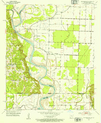
1952 · Doddridge SE
USGS Topo · 1:24,000
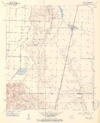
1952 · Bradley
USGS Topo · 1:24,000
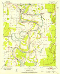
1952 · Garland
USGS Topo · 1:24,000
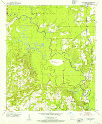
1952 · Doddridge NW
USGS Topo · 1:24,000
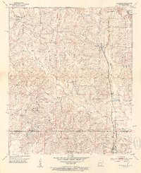
1952 · Doddridge
USGS Topo · 1:24,000
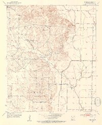
1952 · Fouke SE
USGS Topo · 1:24,000
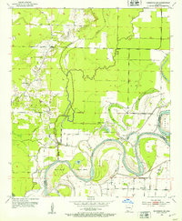
1952 · Doddridge NE
USGS Topo · 1:24,000
1952 · Fouke
USGS Topo · 1:24,000
1952 · Canfield
USGS Topo · 1:24,000

1953 · El Dorado
USGS Topo · 1:250,000