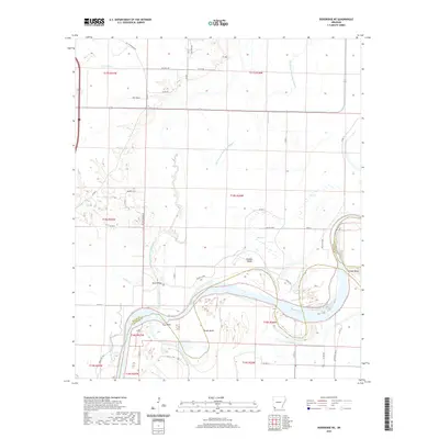
2020 Map of Doddridge NE
USGS Topo · Published 2020About this map
The Red River dominates this southwestern Arkansas landscape, carving a serpentine path that defines the border between Miller and Lafayette counties. The river's historical shifts have left behind a complex network of abandoned watercourses, most notably the Old Channel McKinney Bayou, which meanders north of the current riverbed alongside the modern McKinney Bayou. These hydrological changes have created distinct landforms like Hunters Island and several prominent river curves including Slay Bend, Brown Bend, and Dickson Bend.
Find a feature on this map
44 named features on this map. Tap any name to fly to it.
Don’t see what you’re looking for? This feature index may not catch every label — zoom into the map to look around manually.
Map Details
Editions of this 2020 Doddridge NE Map
This is the sole edition of this map. No revisions or reprints were ever made.
Other maps of this area

1952 · Doddridge SE
USGS Topo · 1:24,000

1952 · Bradley
USGS Topo · 1:24,000

1952 · Garland
USGS Topo · 1:24,000

1952 · Doddridge NW
USGS Topo · 1:24,000

1952 · Doddridge
USGS Topo · 1:24,000

1952 · Fouke SE
USGS Topo · 1:24,000

1952 · Doddridge NE
USGS Topo · 1:24,000

1952 · Fouke
USGS Topo · 1:24,000

1952 · Canfield
USGS Topo · 1:24,000

1953 · El Dorado
USGS Topo · 1:250,000