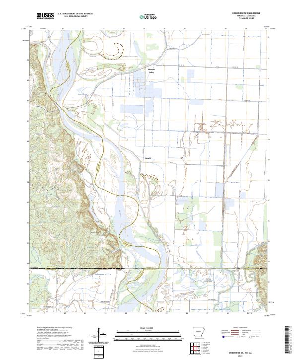
2024 Map of Doddridge SE
USGS Topo · Published 2024About this map
The Red River meanders through this borderland where Miller and Lafayette counties in Arkansas meet Caddo and Bossier parishes in Louisiana. The landscape is defined by its complex hydrology, featuring abandoned river courses and backwaters like Old Channel McKinney Bayou, Blue Hole, and Old Bed Rotten Lake. These water features reflect the shifting nature of the river over decades, creating a fertile but challenging terrain for local settlements. Small communities like Pleasant Valley and Missionary are situated on the margins of these wetlands, connected by a network of rural roads such as State Hwy 160 and Log Ferry Rd. For those researching family history, the Blanton Cem serves as a key landmark in the T20S R26W section, while Missionary Lake provides a geographical anchor for the southernmost settlements in this tri-state junction.
Find a feature on this map
57 named features on this map. Tap any name to fly to it.
Don’t see what you’re looking for? This feature index may not catch every label — zoom into the map to look around manually.
Map Details
Editions of this 2024 Doddridge SE Map
This is the sole edition of this map. No revisions or reprints were ever made.
Other maps of this area

1932 · Hosston NW
USGS Topo · 1:31,680

1932 · Hosston NE
USGS Topo · 1:31,680

1948 · Vivian
USGS Topo · 1:62,500

1950 · Plain Dealing NW
USGS Topo · 1:31,680

1952 · Doddridge SE
USGS Topo · 1:24,000

1952 · Bradley
USGS Topo · 1:24,000

1952 · Doddridge NW
USGS Topo · 1:24,000

1952 · Doddridge
USGS Topo · 1:24,000

1952 · Doddridge NE
USGS Topo · 1:24,000

1952 · Canfield
USGS Topo · 1:24,000