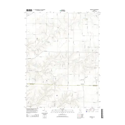
2015 Map of Doddsville
USGS Topo · Published 2015About this map
The border of McDonough Co and Schuyler Co bisects this rural landscape, where the small settlement of Doddsville sits at the junction of several county roads. The area is defined by a high concentration of family and community burial grounds, including the Bethel Baptist Cem, Pennington Cem, and Willey Cem, which serve as significant markers for genealogical research in this part of Illinois. The terrain is shaped by several waterways such as Grindstone Cr and Honey Br, which carve through the land between Gin Ridge and Center Ridge. Industrial history is subtly present through names like Freeman Mine Rd and Freeman Line Rd, indicating the historical significance of coal extraction in the region's development and road network.
Find a feature on this map
52 named features on this map. Tap any name to fly to it.
Don’t see what you’re looking for? This feature index may not catch every label — zoom into the map to look around manually.
Map Details
Editions of this 2015 Doddsville Map
This is the sole edition of this map. No revisions or reprints were ever made.
Other maps of this area

1912 · Macomb
USGS Topo · 1:62,500

1913 · Colchester
USGS Topo · 1:62,500

1914 · Macomb
USGS Topo · 1:62,500

1923 · Rushville
USGS Topo · 1:62,500

1926 · Rushville
USGS Topo · 1:62,500

1946 · Augusta
USGS Topo · 1:62,500

1949 · Augusta
USGS Topo · 1:62,500

1958 · Burlington
USGS Topo · 1:250,000

1961 · Burlington
USGS Topo · 1:250,000

1963 · Burlington
USGS Topo · 1:250,000