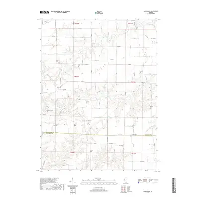
2018 Map of Doddsville
USGS Topo · Published 2018About this map
Doddsville sits at the intersection of the McDonough County and Schuyler County line, serving as a central point in this agricultural landscape. The terrain is defined by prominent elevations such as Gin Ridge and Center Ridge, which separate the various drainage basins of Grindstone Creek, Carter Creek, and Willow Creek. This map reveals a high density of family and community burial sites, suggesting a deeply rooted rural history. Notable locations for genealogical research include the Bethel Baptist Cemetery, Stoneking Cemetery, and Pruitt Cemetery, alongside several others like the Vawter Cemetery and Pennington Cemetery. The section lines and township boundaries of T4N and T5N organize the grid of rural roads, such as Beaumont Road and Invention Road, that connect these isolated historical landmarks across the Illinois prairie.
Find a feature on this map
92 named features on this map. Tap any name to fly to it.
Don’t see what you’re looking for? This feature index may not catch every label — zoom into the map to look around manually.
Map Details
Editions of this 2018 Doddsville Map
This is the sole edition of this map. No revisions or reprints were ever made.
Other maps of this area

1912 · Macomb
USGS Topo · 1:62,500

1913 · Colchester
USGS Topo · 1:62,500

1914 · Macomb
USGS Topo · 1:62,500

1923 · Rushville
USGS Topo · 1:62,500

1926 · Rushville
USGS Topo · 1:62,500

1946 · Augusta
USGS Topo · 1:62,500

1949 · Augusta
USGS Topo · 1:62,500

1958 · Burlington
USGS Topo · 1:250,000

1961 · Burlington
USGS Topo · 1:250,000

1963 · Burlington
USGS Topo · 1:250,000