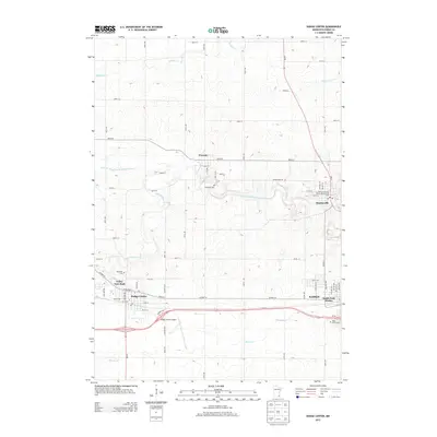
2013 Map of Dodge Center
USGS Topo · Published 2013About this map
Dodge Center and the adjacent city of Kasson anchor this Dodge County landscape, where the agricultural grid is deeply carved by the South Branch Middle Fork Zumbro River and its tributaries. The settlement pattern shows a distinct concentration of infrastructure along the southern corridor, including the Dodge Center Airport and the transition into South Fork Homes. In contrast, the northern half of the map retains a more open character around Wasioja and the county seat at Mantorville.
Find a feature on this map
58 named features on this map. Tap any name to fly to it.
Don’t see what you’re looking for? This feature index may not catch every label — zoom into the map to look around manually.
Map Details
Editions of this 2013 Dodge Center Map
This is the sole edition of this map. No revisions or reprints were ever made.
Other maps of this area

1953 · Saint Paul
USGS Topo · 1:250,000

1954 · Mason City
USGS Topo · 1:250,000

1955 · High Forest
USGS Topo · 1:62,500

1957 · Mason City
USGS Topo · 1:250,000

1958 · Mason City
USGS Topo · 1:250,000

1959 · Saint Paul
USGS Topo · 1:250,000

1965 · Dodge Center
USGS Topo · 1:24,000

1965 · Concord
USGS Topo · 1:24,000

1965 · Claremont
USGS Topo · 1:24,000

1965 · West Concord
USGS Topo · 1:24,000