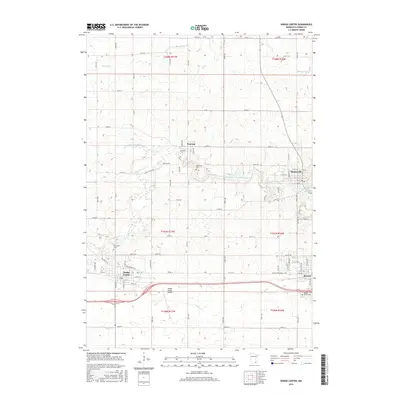
2016 Map of Dodge Center
USGS Topo · Published 2016About this map
The town of Dodge Center and the adjacent city of Kasson anchor the southern portion of this landscape, where the agricultural grid meets growing residential corridors. The terrain is defined by the drainage of the S Br Middle Fork Zumbro River and its various tributaries, including Dodge Center Cr and Masten Cr. Local history is preserved in small rural settlements like Wasioja and Mantorville, the latter situated near the Zumbro River Reservoir. Cultural and genealogical points of interest include several historic burial grounds such as Wildwood Cem, Riverside Cem, and Maple Grove Cem. Modern infrastructure like the Dodge Center Airport and the Veterans Memorial Hwy sit alongside historic paths such as Stage Coach Rd, illustrating the evolution of transportation in Dodge County from early frontier routes to 21st-century aviation and highway networks.
Find a feature on this map
52 named features on this map. Tap any name to fly to it.
Don’t see what you’re looking for? This feature index may not catch every label — zoom into the map to look around manually.
Map Details
Editions of this 2016 Dodge Center Map
This is the sole edition of this map. No revisions or reprints were ever made.
Other maps of this area

1953 · Saint Paul
USGS Topo · 1:250,000

1954 · Mason City
USGS Topo · 1:250,000

1955 · High Forest
USGS Topo · 1:62,500

1957 · Mason City
USGS Topo · 1:250,000

1958 · Mason City
USGS Topo · 1:250,000

1959 · Saint Paul
USGS Topo · 1:250,000

1965 · Dodge Center
USGS Topo · 1:24,000

1965 · Concord
USGS Topo · 1:24,000

1965 · Claremont
USGS Topo · 1:24,000

1965 · West Concord
USGS Topo · 1:24,000