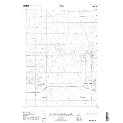
2019 Map of Dodge Center
USGS Topo · Published 2019About this map
Dodge Center and Kasson anchor the southern portion of this Dodge County landscape, where the agricultural grid meets the winding tributaries of the Zumbro River system. The area is defined by its watercourses, including the S Br Middle Fork Zumbro River and Dodge Center Cr, which cut through the steady township lines of the t107n r17w and t107n r16w regions. Local history is preserved in several rural burial grounds, such as Wildwood Cem near Wasioja and Riverside Cem further south. The transportation network shows a deep lineage, featuring the modern Dodge Center Airport alongside the evocative Stage Coach Rd, reflecting the evolution of transit across these Minnesota plains. Further east, Mantorville sits near the northern bend of the river, maintaining its place as a key settlement in this historically significant corridor.
Find a feature on this map
57 named features on this map. Tap any name to fly to it.
Don’t see what you’re looking for? This feature index may not catch every label — zoom into the map to look around manually.
Map Details
Editions of this 2019 Dodge Center Map
This is the sole edition of this map. No revisions or reprints were ever made.
Other maps of this area

1953 · Saint Paul
USGS Topo · 1:250,000

1954 · Mason City
USGS Topo · 1:250,000

1955 · High Forest
USGS Topo · 1:62,500

1957 · Mason City
USGS Topo · 1:250,000

1958 · Mason City
USGS Topo · 1:250,000

1959 · Saint Paul
USGS Topo · 1:250,000

1965 · Dodge Center
USGS Topo · 1:24,000

1965 · Concord
USGS Topo · 1:24,000

1965 · Claremont
USGS Topo · 1:24,000

1965 · West Concord
USGS Topo · 1:24,000