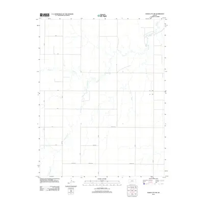
2012 Map of Dodge City NW
USGS Topo · Published 2012About this map
Buckner Cr and its tributary, the S Fork Buckner Cr, dominate this section of the High Plains north of Dodge City. The drainage pattern of these waterways provides the primary geographic structure in a landscape otherwise defined by the rigid grid of the Public Land Survey System. The transition from rural section roads like B RD and 100th Rd to the more developed southern edge near Chestnut St reflects the gradual encroachment of suburban infrastructure. Notable local thoroughfares such as Antelope Rd and the aptly named Backtrail cut across the territory, tracing the movement of modern transit through a region historically significant for its proximity to the Santa Fe Trail corridor.
Find a feature on this map
19 named features on this map. Tap any name to fly to it.
Don’t see what you’re looking for? This feature index may not catch every label — zoom into the map to look around manually.
Map Details
Editions of this 2012 Dodge City NW Map
This is the sole edition of this map. No revisions or reprints were ever made.
Other maps of this area

1892 · Dodge
USGS Topo · 1:125,000

1955 · Dodge City
USGS Topo · 1:250,000

1955 · Scott City
USGS Topo · 1:250,000

1958 · Dodge City
USGS Topo · 1:250,000

1958 · Scott City
USGS Topo · 1:250,000

1959 · Dodge City
USGS Topo · 1:250,000

1968 · Dodge City NE
USGS Topo · 1:24,000

1968 · Dodge City NW
USGS Topo · 1:24,000

1968 · Cimarron
USGS Topo · 1:24,000

1968 · Cimarron NE
USGS Topo · 1:24,000