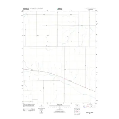
2012 Map of Dodge City SW
USGS Topo · Published 2012About this map
The settlement of Howell anchors this portion of the Kansas plains, situated along the northern bank of the Arkansas River. This 2012 survey illustrates a landscape defined by an orderly grid of rural roads and the natural drainage patterns of several seasonal watercourses. To the north, the Ridenour Cem sits near the headwaters of Saw Log Cr, offering a specific point of interest for genealogists researching family ties in Ford County. The transition from the high prairie down to the river valley is marked by the winding paths of S Fork Buckner Cr and the larger river corridor, which remains the dominant geographic feature. This map captures the agricultural layout of the region, showing the precise placement of namesake thoroughfares like Kettle Rd and Jewell Rd during the early 21st century.
Find a feature on this map
20 named features on this map. Tap any name to fly to it.
Don’t see what you’re looking for? This feature index may not catch every label — zoom into the map to look around manually.
Map Details
Editions of this 2012 Dodge City SW Map
This is the sole edition of this map. No revisions or reprints were ever made.
Other maps of this area

1892 · Dodge
USGS Topo · 1:125,000

1955 · Dodge City
USGS Topo · 1:250,000

1958 · Dodge City
USGS Topo · 1:250,000

1959 · Dodge City
USGS Topo · 1:250,000

1968 · Dodge City NE
USGS Topo · 1:24,000

1968 · Dodge City NW
USGS Topo · 1:24,000

1968 · Cimarron
USGS Topo · 1:24,000

1968 · Cimarron NE
USGS Topo · 1:24,000

1968 · Dodge City
USGS Topo · 1:24,000
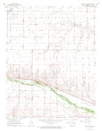
1968 · Dodge City SW
USGS Topo · 1:24,000