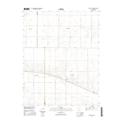
2016 Map of Dodge City SW
USGS Topo · Published 2016About this map
Howell sits as the central settlement on this southwestern Kansas landscape, positioned along the northern bank of the Arkansas River. This 2016 survey illustrates the organized agricultural grid typical of Ford and Gray counties, divided by long arterial routes such as Iron Rd and Garnett Rd. The topography is defined by the drainage basins of Saw Log Cr and the S-Fork Buckner Cr, which carve subtle relief into the plains. Genealogists will find the Ridenour Cem located north of Howell, a quiet marker of local history amidst the section lines. The map captures the meeting of the Gray and Ford county lines, showing how the river corridor continues to influence the placement of transportation and community hubs in this prairie region.
Find a feature on this map
23 named features on this map. Tap any name to fly to it.
Don’t see what you’re looking for? This feature index may not catch every label — zoom into the map to look around manually.
Map Details
Editions of this 2016 Dodge City SW Map
This is the sole edition of this map. No revisions or reprints were ever made.
Other maps of this area

1892 · Dodge
USGS Topo · 1:125,000

1955 · Dodge City
USGS Topo · 1:250,000

1958 · Dodge City
USGS Topo · 1:250,000

1959 · Dodge City
USGS Topo · 1:250,000

1968 · Dodge City NE
USGS Topo · 1:24,000

1968 · Dodge City NW
USGS Topo · 1:24,000

1968 · Cimarron
USGS Topo · 1:24,000

1968 · Cimarron NE
USGS Topo · 1:24,000

1968 · Dodge City
USGS Topo · 1:24,000
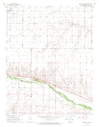
1968 · Dodge City SW
USGS Topo · 1:24,000