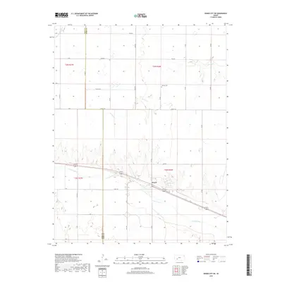
2018 Map of Dodge City SW
USGS Topo · Published 2018About this map
Howell sits at the heart of this landscape, positioned along the northern bank of the Arkansas River where the prairie transition begins. The terrain is defined by the carved path of the river valley and the northern drainages of Saw Log Cr and S Fork Buckskin Cr, which break up the surrounding agricultural grid. This survey provides a detailed look at the rural infrastructure in Ford and Gray Counties, marking the exact alignment of section roads like Jewell Rd and Denim Rd. Local history is anchored by the Ridenour Cem, a small burial ground situated north of the river. The map illustrates how transportation corridors and water sources dictated the settlement patterns of this plains region, with the heaviest development clustering near the river's path through the southern half of the quadrangle.
Find a feature on this map
32 named features on this map. Tap any name to fly to it.
Don’t see what you’re looking for? This feature index may not catch every label — zoom into the map to look around manually.
Map Details
Editions of this 2018 Dodge City SW Map
This is the sole edition of this map. No revisions or reprints were ever made.
Other maps of this area

1892 · Dodge
USGS Topo · 1:125,000

1955 · Dodge City
USGS Topo · 1:250,000

1958 · Dodge City
USGS Topo · 1:250,000

1959 · Dodge City
USGS Topo · 1:250,000

1968 · Dodge City NE
USGS Topo · 1:24,000

1968 · Dodge City NW
USGS Topo · 1:24,000

1968 · Cimarron
USGS Topo · 1:24,000

1968 · Cimarron NE
USGS Topo · 1:24,000

1968 · Dodge City
USGS Topo · 1:24,000
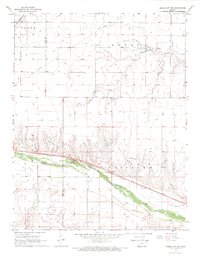
1968 · Dodge City SW
USGS Topo · 1:24,000