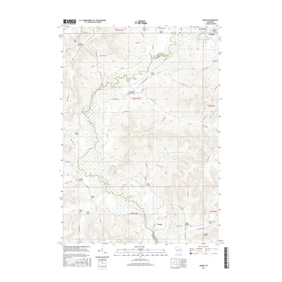
2015 Map of Dodge
USGS Topo · Published 2015About this map
Trempealeau River meanders through a landscape defined by sharp ridges and deep valleys, creating a distinct topography where agricultural settlement follows the floor of numerous coulees. The village of Dodge and the community of Pine Creek serve as local hubs in this area, which spans the boundary of Buffalo and Trempealeau counties. The map captures a transition from the elevated Fountain City Ridge in the northwest to the lower valley floor, showing how roads like River Road and Co Rd J navigate the difficult terrain.
Find a feature on this map
74 named features on this map. Tap any name to fly to it.
Don’t see what you’re looking for? This feature index may not catch every label — zoom into the map to look around manually.
Map Details
Editions of this 2015 Dodge Map
This is the sole edition of this map. No revisions or reprints were ever made.
Other maps of this area

1926 · Whitehall
USGS Topo · 1:62,500

1929 · Whitehall
USGS Topo · 1:62,500

1929 · Fountain City
USGS Topo · 1:62,500

1929 · Galesville
USGS Topo · 1:62,500

1932 · Gilmanton
USGS Topo · 1:62,500

1934 · Winona
USGS Topo · 1:62,500

1937 · Winona
USGS Topo · 1:62,500

1953 · Eau Claire
USGS Topo · 1:250,000

1958 · Eau Claire
USGS Topo · 1:250,000

1964 · Eau Claire
USGS Topo · 1:250,000