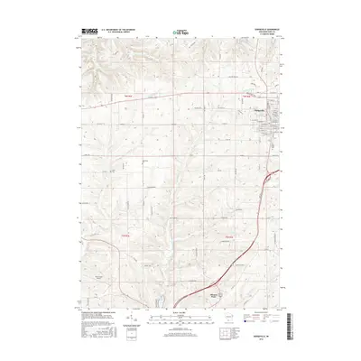
2016 Map of Dodgeville
USGS Topo · Published 2016About this map
Dodgeville serves as the focal point for this Iowa County landscape, where the urban grid meets the rolling drainages of the Driftless Area. The local topography is defined by numerous watercourses, including Mineral Point Br, Harker Cr, and Lee Cr, which carve through the terrain south of the Military Ridge Rd. Genealogists will find significant value in the documentation of local burial sites like Bloomfield Cem and Laxey Cem, while the northern portion of the map shows the transition into Mineral Point along the southern edge.
Find a feature on this map
95 named features on this map. Tap any name to fly to it.
Don’t see what you’re looking for? This feature index may not catch every label — zoom into the map to look around manually.
Map Details
Editions of this 2016 Dodgeville Map
This is the sole edition of this map. No revisions or reprints were ever made.
Other maps of this area

1902 · Mineral Point
USGS Topo · 1:125,000

1905 · Richland Center
USGS Topo · 1:125,000

1952 · Mineral Point
USGS Topo · 1:24,000

1952 · Dodgeville
USGS Topo · 1:24,000

1952 · Linden
USGS Topo · 1:24,000

1952 · Mifflin
USGS Topo · 1:24,000

1958 · La Crosse
USGS Topo · 1:250,000

1959 · Dubuque
USGS Topo · 1:250,000

1960 · Muscoda
USGS Topo · 1:62,500

1960 · Spring Green
USGS Topo · 1:62,500