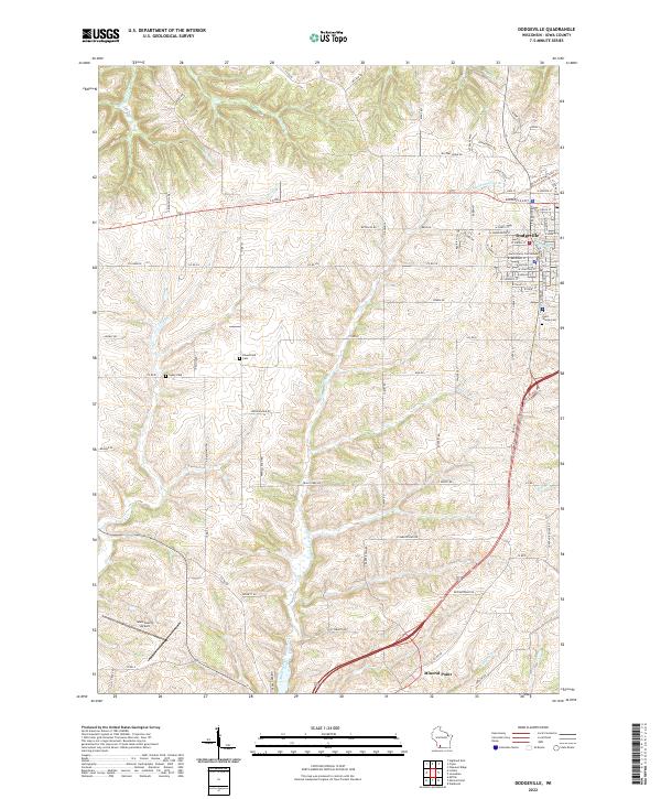
2022 Map of Dodgeville
USGS Topo · Published 2022About this map
Dodgeville serves as the focal point of this southwestern Wisconsin landscape, where the historic Iowa County Courthouse anchors the local street grid. The terrain is defined by a dense network of coulees and ridges, drained by numerous watercourses including Laxey Cr, Harker Cr, and the Mineral Point Branch. To the south, the city of Mineral Point marks the lower reaches of the map, connected to the county seat by a corridor that bypasses the smaller rural features of the driftless area.
Find a feature on this map
85 named features on this map. Tap any name to fly to it.
Don’t see what you’re looking for? This feature index may not catch every label — zoom into the map to look around manually.
Map Details
Editions of this 2022 Dodgeville Map
This is the sole edition of this map. No revisions or reprints were ever made.