
1943 Map of Dog Island
USGS Topo · Published 1943About this map
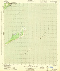
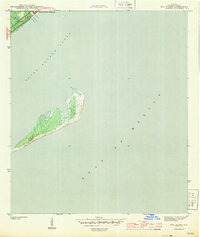
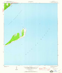
Camp Gordon Johnson dominates the northern shoreline in this wartime survey, situated along the coastal passage of Saint George Sound. This military facility was a major amphibious training center during World War II, and its location here on the Florida coast is documented in detail, showing its relationship to the Seaboard rail line and State No. 10. Across the sound, the uninhabited landscape of Dog Island stands as a barrier between the sound and the open Gulf of Mexico. The map illustrates the island’s natural topography and shifting sands before mid-century development reached this stretch of the Gulf Coast. For historians, the contrast between the organized military infrastructure on the mainland and the wild, surveyed terrain of the island provides a clear look at the region’s strategic importance and its physical state during the 1940s.
Find a feature on this map
6 named features on this map. Tap any name to fly to it.
Don’t see what you’re looking for? This feature index may not catch every label — zoom into the map to look around manually.
Map Details
Editions of this 1943 Dog Island Map
4 editions found
Other maps of this area

1943 · Carrabelle
USGS Topo · 1:24,000

1943 · St. Teresa Beach
USGS Topo · 1:24,000

1944 · Pickett Bay
USGS Topo · 1:31,680

1944 · Carrabelle
USGS Topo · 1:31,680

1944 · Sugar Hill
USGS Topo · 1:31,680

1945 · Mc Intyre
USGS Topo · 1:31,680

1945 · Sugar Hill
USGS Topo · 1:31,680

1945 · St Teresa
USGS Topo · 1:31,680

1945 · Pickett Bay
USGS Topo · 1:31,680

1949 · Apalachicola
USGS Topo · 1:250,000