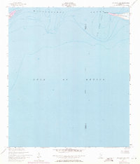
1950 Map of Dog Keys Pass
USGS Topo · Published 1971About this map
Mississippi Sound meets the open Gulf of Mexico in this hydrographic and topographic study of the barrier island chain. The map focuses on the shifting maritime corridor of Dog Keys Pass, a critical navigational opening between the eastern tip of Ship Island and the western reach of Horn Island at West Point. This mid-century record captures the coastal morphology before significant modern storm erosion and navigational dredging altered the shoal patterns and island footprints. The sheet is bisected by the Harrison Co Jackson Co line, which serves as an indefinite boundary through the sound and gulf waters. While largely aquatic, the map provides precise shoreline detail for the edges of these wilderness islands, documenting the sand dunes and soundings that defined the Mississippi coast's outer defenses at the start of the 1950s.
Find a feature on this map
8 named features on this map. Tap any name to fly to it.
Don’t see what you’re looking for? This feature index may not catch every label — zoom into the map to look around manually.
Map Details
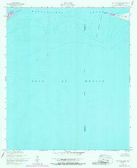
Editions of this 1950 Dog Keys Pass Map
3 editions found
Other maps of this area

1941 · Horn Island
USGS Topo · 1:62,500

1942 · Horn Island
USGS Topo · 1:62,500

1943 · Pascagoula
USGS Topo · 1:62,500

1950 · Dog Keys Pass
USGS Topo · 1:24,000

1950 · Ship Island
USGS Topo · 1:24,000

1951 · Chandeleur Light
USGS Topo · 1:24,000

1953 · Mobile
USGS Topo · 1:250,000

1954 · Deer Island
USGS Topo · 1:24,000

1954 · Biloxi
USGS Topo · 1:62,500

1955 · Pascagoula
USGS Topo · 1:62,500