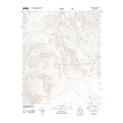
2011 Map of Dog Springs
USGS Topo · Published 2011About this map
Cibola National Forest encompasses the majority of this high-elevation landscape in Socorro County, where water sources are vital landmarks for navigation and land use. The presence of numerous named pumping sites, such as the John Henry Windmill, Rincon Windmill, and Ramsey Windmill, underscores the importance of groundwater for ranching operations in this arid region. These functional landmarks, often named for local families or geographical positions like the Road Windmill, serve as anchors for historical land use patterns.
Find a feature on this map
19 named features on this map. Tap any name to fly to it.
Don’t see what you’re looking for? This feature index may not catch every label — zoom into the map to look around manually.
Map Details
Editions of this 2011 Dog Springs Map
This is the sole edition of this map. No revisions or reprints were ever made.
Other maps of this area

1954 · Socorro
USGS Topo · 1:250,000

1958 · Socorro
USGS Topo · 1:250,000

1962 · Socorro
USGS Topo · 1:250,000

1963 · Cal Ship Mesa
USGS Topo · 1:24,000

1963 · Datil
USGS Topo · 1:24,000

1964 · Indian Mesa
USGS Topo · 1:24,000

1964 · Table Mountain
USGS Topo · 1:24,000

1964 · Dog Springs
USGS Topo · 1:24,000

1964 · Pasture Canyon
USGS Topo · 1:24,000

1964 · Lion Mountain
USGS Topo · 1:24,000