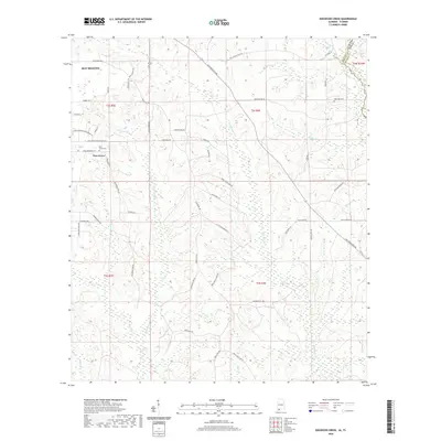
2020 Map of Dogwood Creek
USGS Topo · Published 2020About this map
The Perdido River forms the interstate boundary between Alabama and Florida in this detailed 2020 topographic map of the eastern outskirts of Bay Minette. The landscape is defined by a dense network of watercourses, including Hollinger Cr, Indian Cr, and Dogwood Cr, which carve through the terrain of Baldwin and Escambia counties. These waterways and the wetlands surrounding them have long influenced the local road network and settlement patterns, seen in the winding paths of Old Pensacola Rd and Old Brady Rd.
Find a feature on this map
58 named features on this map. Tap any name to fly to it.
Don’t see what you’re looking for? This feature index may not catch every label — zoom into the map to look around manually.
Map Details
Editions of this 2020 Dogwood Creek Map
This is the sole edition of this map. No revisions or reprints were ever made.
Other maps of this area

1920 · Robertsdale
USGS Topo · 1:62,500

1921 · Fairhope
USGS Topo · 1:62,500

1941 · Bay Minette
USGS Topo · 1:62,500

1941 · Robertsdale
USGS Topo · 1:62,500

1941 · Fairhope
USGS Topo · 1:62,500

1942 · Dyas
USGS Topo · 1:62,500

1943 · Robertsdale
USGS Topo · 1:62,500

1943 · Bay Minette
USGS Topo · 1:62,500
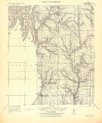
1943 · Fairhope
USGS Topo · 1:62,500
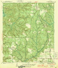
1944 · Stapleton
USGS Topo · 1:31,680