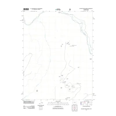
2011 Map of Dolores Point North
USGS Topo · Published 2011About this map
The Dolores River winds through the northern reaches of this landscape, flanked by the deep incisions of Gateway Canyon and the wide plateau of South Beaver Mesa. This area in Mesa County is defined by an intensive history of mineral extraction, evidenced by a dense network of claims and prospects scattered across the high ground. Notable sites include the Rae Marie Mine near the river and a cluster of operations further south, such as the Winfield-McCormick Mine and the Captain Jinks Mine.
Find a feature on this map
37 named features on this map. Tap any name to fly to it.
Don’t see what you’re looking for? This feature index may not catch every label — zoom into the map to look around manually.
Map Details
Editions of this 2011 Dolores Point North Map
This is the sole edition of this map. No revisions or reprints were ever made.
Other maps of this area

1885 · La Sal
USGS Topo · 1:250,000

1949 · Juanita Arch
USGS Topo · 1:24,000

1949 · Gateway
USGS Topo · 1:24,000

1950 · Juanita Arch
USGS Topo · 1:24,000

1952 · Gateway
USGS Topo · 1:24,000

1954 · Mt. Waas 4 SE
USGS Topo · 1:24,000

1954 · Mt. Waas 4 SW
USGS Topo · 1:24,000

1954 · Mt. Waas 4 NE
USGS Topo · 1:24,000

1954 · Mt. Waas 4 NW
USGS Topo · 1:24,000

1954 · Mt. Waas 1 SW
USGS Topo · 1:24,000