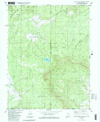
1985 Map of Dolores Point South
USGS Topo · Published 1986About this map
Sinbad Valley and its surrounding high-plateau geography dominate this 1985 survey, capturing a landscape defined by dramatic geological transitions along the Utah-Colorado state line. The map highlights the sprawling reaches of the Manti-La Sal National Forest, where high-altitude features like Delores Point and Kirks Basin provided seasonal range for livestock and exploration. In the southeastern portion, Sinbad Ridge drops toward the valley floor, a region shaped by ephemeral drainages such as Sallys Hollow and Taylor Creek.
Find a feature on this map
24 named features on this map. Tap any name to fly to it.
Don’t see what you’re looking for? This feature index may not catch every label — zoom into the map to look around manually.
Map Details
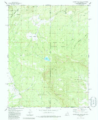
Editions of this 1985 Dolores Point South Map
2 editions found
Other maps of this area

1885 · La Sal
USGS Topo · 1:250,000

1916 · Paradox Valley
USGS Topo · 1:125,000

1922 · Paradox Valley
USGS Topo · 1:125,000

1948 · Roc Creek
USGS Topo · 1:24,000

1949 · Roc Creek
USGS Topo · 1:24,000

1949 · Juanita Arch
USGS Topo · 1:24,000

1949 · Gateway
USGS Topo · 1:24,000

1950 · Juanita Arch
USGS Topo · 1:24,000

1952 · Gateway
USGS Topo · 1:24,000

1954 · Mt Peale 1 NE
USGS Topo · 1:24,000