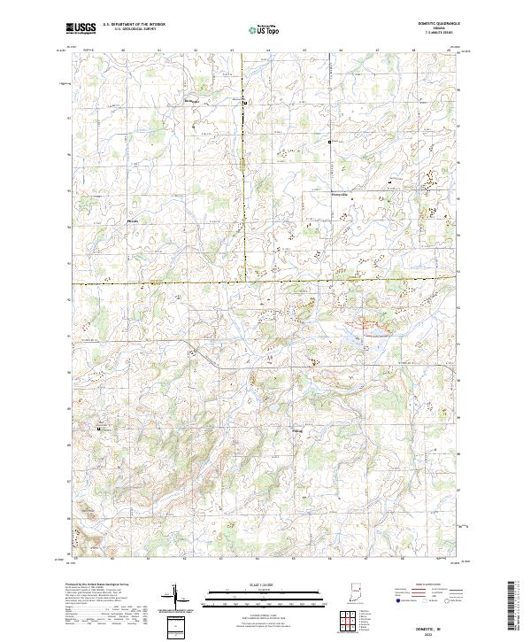
2022 Map of Domestic
USGS Topo · Published 2022About this map
Domestic and the surrounding rural landscape of Jay County are defined by an extensive network of drainage infrastructure, reflecting a long history of agricultural engineering in this portion of Indiana. The map documents numerous man-made waterways such as Shoemaker Ditch, Sullivan Ditch, and Downing Ditch that lace the terrain between small settlements like Perryville and Poling. These features, alongside the Loblolly Marsh Trails, indicate a complex relationship with the local wetlands and the Loblolly Cr system.
Find a feature on this map
72 named features on this map. Tap any name to fly to it.
Don’t see what you’re looking for? This feature index may not catch every label — zoom into the map to look around manually.
Map Details
Editions of this 2022 Domestic Map
This is the sole edition of this map. No revisions or reprints were ever made.
Other maps of this area

1911 · Berne
USGS Topo · 1:48,000

1915 · Fort Recovery
USGS Topo · 1:48,000

1918 · Fort Recovery
USGS Topo · 1:62,500

1953 · Muncie
USGS Topo · 1:250,000

1956 · Muncie
USGS Topo · 1:250,000

1960 · Pennville
USGS Topo · 1:24,000

1960 · Blaine
USGS Topo · 1:24,000
1960 · Portland
USGS Topo · 1:24,000

1962 · Berne
USGS Topo · 1:24,000

1962 · Petroleum
USGS Topo · 1:24,000