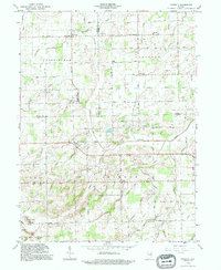
1992 Map of Domestic
USGS Topo · Published 1995About this map
Domestic and the surrounding agrarian landscape of northern Jay County are defined by an intricate network of drainage systems that support this productive region. The terrain is marked by engineered waterways such as Votaw Ditch, McAllister Ditch, and Williams Ditch, which channel water toward natural courses like Loblolly Creek. Small rural crossroads like Perryville and Poling serve as local anchors, while community history is preserved at Union Chapel, White Oak Ch, and the Hartford Cem. In the southern portion of the map, Oil Wells indicate local extraction activity near Twin Hills. The grid of section roads, including 1000 South Road and 24 South Road, provides a structured view of the late 20th-century Midwestern township system as it existed during this 1992 field update.
Find a feature on this map
71 named features on this map. Tap any name to fly to it.
Don’t see what you’re looking for? This feature index may not catch every label — zoom into the map to look around manually.
Map Details
Editions of this 1992 Domestic Map
This is the sole edition of this map. No revisions or reprints were ever made.
Other maps of this area

1911 · Berne
USGS Topo · 1:48,000

1915 · Fort Recovery
USGS Topo · 1:48,000

1918 · Fort Recovery
USGS Topo · 1:62,500

1953 · Muncie
USGS Topo · 1:250,000

1956 · Muncie
USGS Topo · 1:250,000

1960 · Pennville
USGS Topo · 1:24,000

1960 · Blaine
USGS Topo · 1:24,000
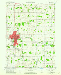
1960 · Portland
USGS Topo · 1:24,000

1962 · Berne
USGS Topo · 1:24,000

1962 · Petroleum
USGS Topo · 1:24,000