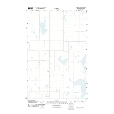
2011 Map of Dominek Lake
USGS Topo · Published 2011About this map
Immanuel Cemetery stands as a quiet focal point in this portion of Williams County, located along Sand Flat Rd in a landscape defined by an extensive network of prairie potholes and wetlands. The region's hydrography is characterized by several large named bodies of water, including the central Dominek Lake, the expansive Stink Lake to the south, and Camp Lake near the eastern boundary. These glacial features are drained by Lake Creek, which winds through the western section of the quadrangle.
Find a feature on this map
20 named features on this map. Tap any name to fly to it.
Don’t see what you’re looking for? This feature index may not catch every label — zoom into the map to look around manually.
Map Details
Editions of this 2011 Dominek Lake Map
This is the sole edition of this map. No revisions or reprints were ever made.
Other maps of this area

1946 · Brush Lake
USGS Topo · 1:24,000

1946 · Dagmar
USGS Topo · 1:24,000

1948 · Grenora
USGS Topo · 1:24,000

1948 · Dagmar
USGS Topo · 1:24,000

1948 · Brush Lake
USGS Topo · 1:24,000

1953 · Williston
USGS Topo · 1:250,000

1954 · Wolf Point
USGS Topo · 1:250,000

1957 · Williston
USGS Topo · 1:250,000

1958 · Wolf Point
USGS Topo · 1:250,000

1983 · Tadpole Lake
USGS Topo · 1:24,000