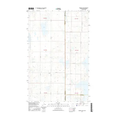
2017 Map of Dominek Lake
USGS Topo · Published 2017About this map
Stateline Rd serves as the dividing line between Montana and North Dakota in this sparsely populated prairie landscape near the junction of Williams, Divide, and Sheridan counties. The terrain is defined by its glacial potholes and small prairie lakes, most notably Dominek Lake in the northwest and Camp Lake further east. The area's settlement history is quietly marked by the Immanuel Cem located along Syverud Rd, a key landmark for genealogists researching families from the surrounding townships. A network of rural roads, including Sand Flat Rd and Longfellow Rd, provides access to the sectional grid where agriculture and wetland conservation meet. The southern portion of the map transitions into Williams County near the edge of Stink Lake, showing a landscape where water and land are in constant flux.
Find a feature on this map
28 named features on this map. Tap any name to fly to it.
Don’t see what you’re looking for? This feature index may not catch every label — zoom into the map to look around manually.
Map Details
Editions of this 2017 Dominek Lake Map
This is the sole edition of this map. No revisions or reprints were ever made.
Other maps of this area

1946 · Brush Lake
USGS Topo · 1:24,000

1946 · Dagmar
USGS Topo · 1:24,000

1948 · Grenora
USGS Topo · 1:24,000

1948 · Dagmar
USGS Topo · 1:24,000

1948 · Brush Lake
USGS Topo · 1:24,000

1953 · Williston
USGS Topo · 1:250,000

1954 · Wolf Point
USGS Topo · 1:250,000

1957 · Williston
USGS Topo · 1:250,000

1958 · Wolf Point
USGS Topo · 1:250,000

1983 · Tadpole Lake
USGS Topo · 1:24,000