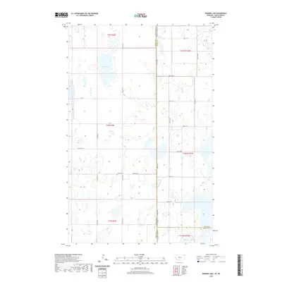
2020 Map of Dominek Lake
USGS Topo · Published 2020About this map
The high plains along the border between Montana and North Dakota are defined by a landscape of prairie potholes and seasonal water bodies. Dominek Lake sits as a central feature in this remote agricultural region, surrounded by a network of sectional roads and glacial depressions. To the south, Lake Cr and Stink Lake drain through the rolling terrain of Williams County. Evidence of early settlement and community heritage is found at Immanuel Cem, located near the intersection of Syverud Rd and 86th St NW. The map illustrates the rigid survey grid that governs the borderlands, with Stateline Rd acting as the literal divide between Sheridan County, Montana, and Divide County, North Dakota. This modern survey tracks the enduring rural infrastructure, from Sand Flat Rd to Longfellow Rd, that continues to serve this sparsely populated corner of the MonDak region.
Find a feature on this map
24 named features on this map. Tap any name to fly to it.
Don’t see what you’re looking for? This feature index may not catch every label — zoom into the map to look around manually.
Map Details
Editions of this 2020 Dominek Lake Map
This is the sole edition of this map. No revisions or reprints were ever made.
Other maps of this area

1946 · Brush Lake
USGS Topo · 1:24,000

1946 · Dagmar
USGS Topo · 1:24,000

1948 · Grenora
USGS Topo · 1:24,000

1948 · Dagmar
USGS Topo · 1:24,000

1948 · Brush Lake
USGS Topo · 1:24,000

1953 · Williston
USGS Topo · 1:250,000

1954 · Wolf Point
USGS Topo · 1:250,000

1957 · Williston
USGS Topo · 1:250,000

1958 · Wolf Point
USGS Topo · 1:250,000

1983 · Tadpole Lake
USGS Topo · 1:24,000