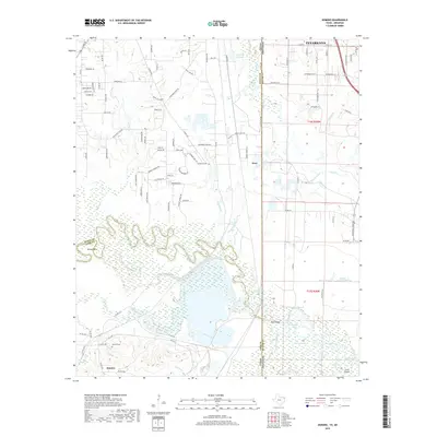
2019 Map of Domino
USGS Topo · Published 2019About this map
The Sulphur River carves a complex course across the southern half of this landscape, creating a wide floodplain marked by a labyrinth of sloughs and oxbow lakes. The river defines the boundary between Cass County and Miller County, while the State Line Rd corridor marks the divide between Texas and Arkansas. In the north, the southern outskirts of Texarkana transition into the rural community of Hoot, which is characterized by industry and water features like Gifford Hill Lake.
Find a feature on this map
116 named features on this map. Tap any name to fly to it.
Don’t see what you’re looking for? This feature index may not catch every label — zoom into the map to look around manually.
Map Details
Editions of this 2019 Domino Map
This is the sole edition of this map. No revisions or reprints were ever made.
Other maps of this area

1907 · Atlanta
USGS Topo · 1:62,500

1909 · Texarkana
USGS Topo · 1:62,500

1910 · Atlanta
USGS Topo · 1:62,500

1952 · Mandeville
USGS Topo · 1:24,000

1952 · Doddridge NW
USGS Topo · 1:24,000

1952 · Fouke
USGS Topo · 1:24,000

1953 · Texarkana
USGS Topo · 1:250,000

1953 · El Dorado
USGS Topo · 1:250,000

1954 · Texarkana
USGS Topo · 1:24,000

1954 · Domino
USGS Topo · 1:24,000