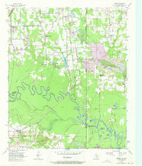
1954 Map of Domino
USGS Topo · Published 1971About this map
The Sulphur River carves a winding path across this landscape on the border of Texas and Arkansas, defining a region where river bottomlands meet industrial extractive operations. The town of Domino sits in the southwest, served by the Texas and Pacific railroad, while the Kansas City Southern line runs north-south through the center of the sheet. The terrain is notably characterized by extensive gravel operations, including the Gifford Hill Gravel Pit and numerous other strip mines.
Find a feature on this map
61 named features on this map. Tap any name to fly to it.
Don’t see what you’re looking for? This feature index may not catch every label — zoom into the map to look around manually.
Map Details
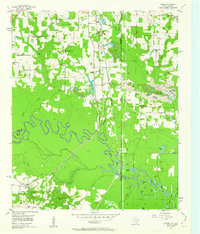
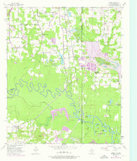
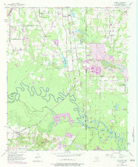
Editions of this 1954 Domino Map
5 editions found
Other maps of this area

1907 · Atlanta
USGS Topo · 1:62,500

1909 · Texarkana
USGS Topo · 1:62,500

1910 · Atlanta
USGS Topo · 1:62,500

1952 · Mandeville
USGS Topo · 1:24,000

1952 · Doddridge NW
USGS Topo · 1:24,000

1952 · Fouke
USGS Topo · 1:24,000

1953 · Texarkana
USGS Topo · 1:250,000

1953 · El Dorado
USGS Topo · 1:250,000

1954 · Texarkana
USGS Topo · 1:24,000

1954 · Domino
USGS Topo · 1:24,000