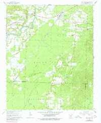
1964 Map of Donaldson
USGS Topo · Published 1980About this map
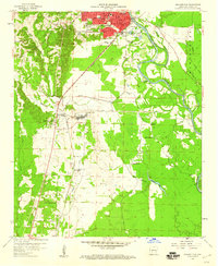
Donaldson and the rural communities of Friendship and Witherspoon anchor this 1960s landscape where the Missouri Pacific railroad cuts through the terrain. The Ouachita River winds through the northern section past Morrison Island, while the southern reaches transition into the Brown Springs and Manchester areas. Local life is centered around a network of country churches and schools, including Riverside Ch, Mt Pleasant Ch, and the Ouachita High Sch.
Find a feature on this map
39 named features on this map. Tap any name to fly to it.
Don’t see what you’re looking for? This feature index may not catch every label — zoom into the map to look around manually.
Map Details
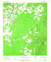
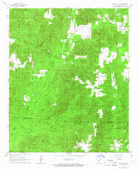
Editions of this 1964 Donaldson Map
3 editions found

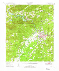
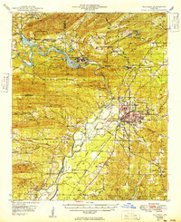
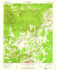
Other maps of this area
1948 · Malvern
USGS Topo · 1:62,500
1949 · Malvern
USGS Topo · 1:62,500

1955 · Little Rock
USGS Topo · 1:250,000

1956 · Little Rock
USGS Topo · 1:250,000
1959 · Caddo Valley
USGS Topo · 1:24,000
1959 · Arkadelphia
USGS Topo · 1:24,000

1960 · Little Rock
USGS Topo · 1:250,000

1964 · Little Rock
USGS Topo · 1:250,000
1964 · Donaldson
USGS Topo · 1:24,000
1965 · Round Hill
USGS Topo · 1:24,000