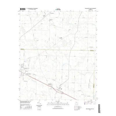
2017 Map of Donalsonville East
USGS Topo · Published 2017About this map
Donalsonville and Iron City anchor the southern portion of this modern survey, revealing a landscape defined by agricultural drainage and a network of named country roads. The transition from the rural northern reaches of Enterprise down through Sharphagen illustrates the continued importance of historic corridors like Three Notch Rd. Numerous house of worship and burial grounds are meticulously preserved here, including the Union Missionary Baptist Church Cem, Oak Long Missionary Baptist Church Cem, and New Home Cem, reflecting the deep-seated community heritage of Seminole County. This area of Southwest Georgia is drained by the meanders of Aycocks Cr and Dry Cr, which feed into Spring Creek along the eastern boundary. The map captures the current layout of local commerce and connectivity just as Byp 84 skirts the major settlements.
Find a feature on this map
88 named features on this map. Tap any name to fly to it.
Don’t see what you’re looking for? This feature index may not catch every label — zoom into the map to look around manually.
Map Details
Editions of this 2017 Donalsonville East Map
This is the sole edition of this map. No revisions or reprints were ever made.
Other maps of this area

1953 · Dothan
USGS Topo · 1:250,000

1954 · Dothan
USGS Topo · 1:250,000

1954 · Steam Mill
USGS Topo · 1:24,000

1954 · Desser
USGS Topo · 1:24,000

1954 · Tallahassee
USGS Topo · 1:250,000

1955 · Dothan
USGS Topo · 1:250,000

1955 · Bainbridge
USGS Topo · 1:62,500

1959 · Tallahassee
USGS Topo · 1:250,000

1960 · Tallahassee
USGS Topo · 1:250,000

1974 · Boykin
USGS Topo · 1:24,000