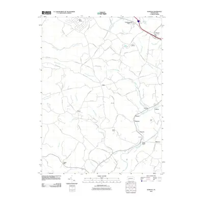
2010 Map of Donegal
USGS Topo · Published 2010About this map
Donegal serves as the primary hub in this Westmoreland County landscape, where the Pennsylvania Turnpike and local roads like Hellen School Rd and Keslar School Rd connect several small unincorporated communities. The southern reaches are defined by a network of creeks and runs, including Indian Creek and Poplar Run, which flow through settlements such as Indian Head and Melcroft. This 2010 topographic record provides a look at the rural character and residential clusters that have persisted since the era of small-scale mining and agriculture.
Find a feature on this map
88 named features on this map. Tap any name to fly to it.
Don’t see what you’re looking for? This feature index may not catch every label — zoom into the map to look around manually.
Map Details
Editions of this 2010 Donegal Map
This is the sole edition of this map. No revisions or reprints were ever made.
Other maps of this area

1900 · Uniontown
USGS Topo · 1:62,500

1902 · Connellsville
USGS Topo · 1:62,500

1922 · Confluence
USGS Topo · 1:62,500

1922 · Donegal
USGS Topo · 1:62,500

1931 · Connellsville
USGS Topo · 1:62,500

1931 · Uniontown
USGS Topo · 1:62,500

1931 · Confluence
USGS Topo · 1:62,500

1933 · Confluence
USGS Topo · 1:62,500

1935 · Donegal
USGS Topo · 1:62,500

1936 · Connellsville
USGS Topo · 1:62,500
Featured Places
- Donegal, PA
- Donegal Township, PA
- Mount Pleasant Township, PA
- Springfield Township, PA
- Bear Rocks, Bullskin Township