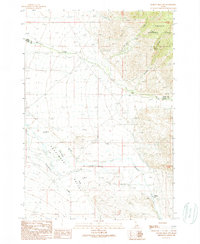
1989 Map of Donkey Hills NW
USGS Topo · Published 1989About this map
The Pahsimeroi Valley landscape of the late 1980s reveals a high-desert ranching and grazing environment where water management is the primary driver of human presence. The settlement of Goldburg is documented alongside the nearby Goldburg (Site) and a small Cem, marking the long-term habitation of this remote basin between the mountain ranges. The drainage of the Pahsimeroi River is fed by numerous seasonal and perennial flows, including Doublespring Creek, Big Creek, and Stinking Creek.
Find a feature on this map
17 named features on this map. Tap any name to fly to it.
Don’t see what you’re looking for? This feature index may not catch every label — zoom into the map to look around manually.
Map Details
Editions of this 1989 Donkey Hills NW Map
This is the sole edition of this map. No revisions or reprints were ever made.
Other maps of this area

1935 · Borah Peak
USGS Topo · 1:125,000

1938 · Borah Peak
USGS Topo · 1:125,000

1955 · Dubois
USGS Topo · 1:250,000

1956 · Patterson
USGS Topo · 1:62,500

1956 · Donkey Hills
USGS Topo · 1:62,500

1956 · Doublespring
USGS Topo · 1:62,500

1956 · May
USGS Topo · 1:62,500

1958 · Dubois
USGS Topo · 1:250,000

1980 · Leadore
USGS Topo · 1:100,000
1989 · Mahogany Hill
USGS Topo · 1:24,000