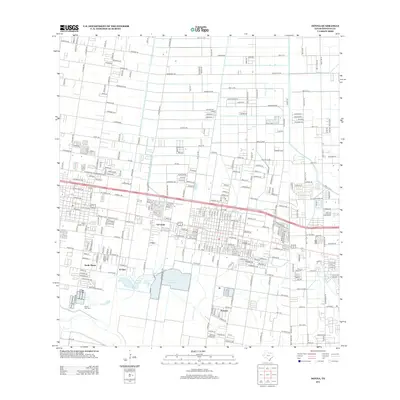
2012 Map of Donna
USGS Topo · Published 2012About this map
The agricultural grid of the Rio Grande Valley defines this landscape, where irrigation and energy extraction coexist alongside growing residential communities. Clusters of development like Val Verde, South Alamo, and El Gato are interconnected by a rigid network of roads, including Alberta Rd and the significant east-west corridor of FM-495. The presence of the Alamo Gas Field in the southwest quadrant highlights the area's industrial importance, while the Saint Joseph Cem serves as a grounded touchstone for local family histories. Water management is central to the region's geography, anchored by the prominent Donna Reservoir 1 and Donna Reservoir 2, which supply the surrounding farms and settlements. This survey captures a moment of transition where the traditional farm-to-market system meets modern suburban expansion near the community of Scissors.
Find a feature on this map
53 named features on this map. Tap any name to fly to it.
Don’t see what you’re looking for? This feature index may not catch every label — zoom into the map to look around manually.
Map Details
Editions of this 2012 Donna Map
This is the sole edition of this map. No revisions or reprints were ever made.
Other maps of this area

1914 · San Juan
USGS Topo · 1:48,000

1916 · San Juan
USGS Topo · 1:62,500

1949 · Mc Allen
USGS Topo · 1:250,000

1953 · Brownsville
USGS Topo · 1:250,000

1954 · McAllen
USGS Topo · 1:250,000

1956 · Mercedes
USGS Topo · 1:24,000
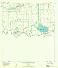
1956 · Progreso
USGS Topo · 1:24,000

1956 · Brownsville
USGS Topo · 1:250,000

1956 · Port Isabel
USGS Topo · 1:250,000
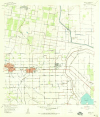
1957 · Edcouch
USGS Topo · 1:24,000