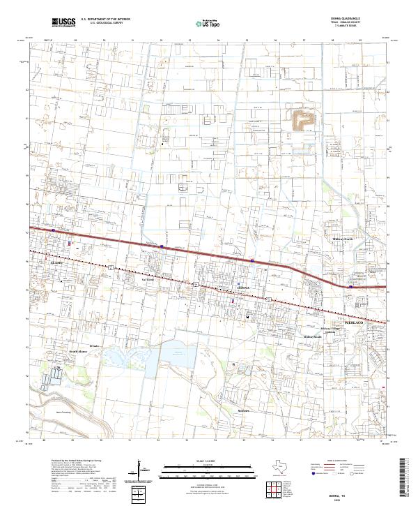
2022 Map of Donna
USGS Topo · Published 2022About this map
The urban and agricultural landscape of the Lower Rio Grande Valley is defined here by the dense network of irrigation roads and drainage systems south of the Donna and Alamo corridor. This modern survey illustrates the proximity of several distinct colonias and settlements, including Midway Village Colonia, South Alamo, and Scissors, which are interspersed among commercial corridors and agricultural tracts. The geography is fundamentally shaped by water management, anchored by the Donna Reservoir 1 and the expansive Main Floodway to the south.
Find a feature on this map
62 named features on this map. Tap any name to fly to it.
Don’t see what you’re looking for? This feature index may not catch every label — zoom into the map to look around manually.
Map Details
Editions of this 2022 Donna Map
This is the sole edition of this map. No revisions or reprints were ever made.
Other maps of this area

1914 · San Juan
USGS Topo · 1:48,000

1916 · San Juan
USGS Topo · 1:62,500

1949 · Mc Allen
USGS Topo · 1:250,000

1953 · Brownsville
USGS Topo · 1:250,000

1954 · McAllen
USGS Topo · 1:250,000

1956 · Mercedes
USGS Topo · 1:24,000
1956 · Progreso
USGS Topo · 1:24,000

1956 · Brownsville
USGS Topo · 1:250,000

1956 · Port Isabel
USGS Topo · 1:250,000
1957 · Edcouch
USGS Topo · 1:24,000