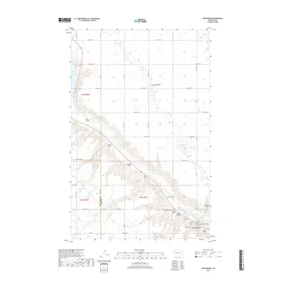
2017 Map of Donnybrook
USGS Topo · Published 2017About this map
Donnybrook serves as the primary settlement on this North Dakota prairie landscape, situated along the winding course of the Des Lacs River. The terrain is defined by its dramatic relief, where the flat upland agricultural fields are carved by deep ravines and coulees that feed into the river valley. Local family names and geography are captured in features like Jack Power Coulee, Mott Coulee, and Mike King Hill, offering a clear view of the area's topographic character. For those researching local heritage, the Holbrook Cem and the prominent Church Hill mark the social and spiritual centers of the community. The map also records the exact path of the Mountrail Co Ward Co boundary and a dense network of county roads, such as 366th Ave NW, that partition the surrounding townships.
Find a feature on this map
31 named features on this map. Tap any name to fly to it.
Don’t see what you’re looking for? This feature index may not catch every label — zoom into the map to look around manually.
Map Details
Editions of this 2017 Donnybrook Map
This is the sole edition of this map. No revisions or reprints were ever made.
Other maps of this area
1947 · Tolley
USGS Topo · 1:62,500
1948 · Kenmare
USGS Topo · 1:24,000
1948 · Norma
USGS Topo · 1:24,000
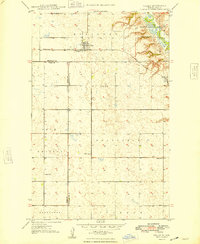
1948 · Tolley
USGS Topo · 1:24,000
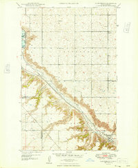
1948 · Donnybrook
USGS Topo · 1:24,000
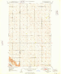
1949 · Tolley SE
USGS Topo · 1:24,000
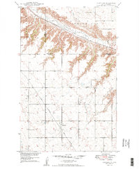
1949 · Hartland
USGS Topo · 1:24,000
1949 · Coulee
USGS Topo · 1:24,000
1950 · Kenmare
USGS Topo · 1:62,500
1950 · Tolley
USGS Topo · 1:62,500