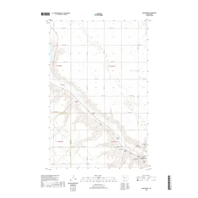
2020 Map of Donnybrook
USGS Topo · Published 2020About this map
Donnybrook sits at the base of a significant valley carved by the Des Lacs River, surrounded by a series of dramatic coulees that define the Ward County landscape. This modern survey illustrates the rugged topography of the North Dakota plains, where the river valley is flanked by high points like Church Hill, Marble Point, and Mike King Hill. The settlement is closely tied to the water and the corridor formed by these deep ravines, including Mott Coulee, Spencer Coulee, and Aennis Coulee.
Find a feature on this map
42 named features on this map. Tap any name to fly to it.
Don’t see what you’re looking for? This feature index may not catch every label — zoom into the map to look around manually.
Map Details
Editions of this 2020 Donnybrook Map
This is the sole edition of this map. No revisions or reprints were ever made.
Other maps of this area

1947 · Tolley
USGS Topo · 1:62,500

1948 · Kenmare
USGS Topo · 1:24,000

1948 · Norma
USGS Topo · 1:24,000

1948 · Tolley
USGS Topo · 1:24,000

1948 · Donnybrook
USGS Topo · 1:24,000

1949 · Tolley SE
USGS Topo · 1:24,000

1949 · Hartland
USGS Topo · 1:24,000

1949 · Coulee
USGS Topo · 1:24,000

1950 · Kenmare
USGS Topo · 1:62,500

1950 · Tolley
USGS Topo · 1:62,500