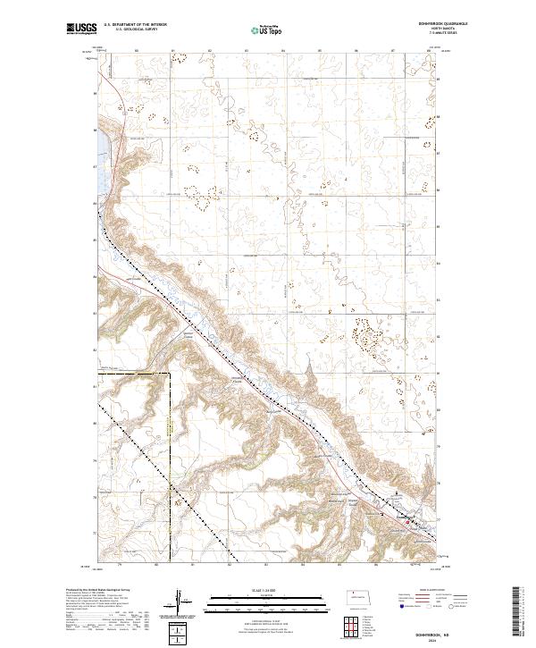
2024 Map of Donnybrook
USGS Topo · Published 2024About this map
Donnybrook sits at the base of a series of steep drainages where the North Dakota prairie breaks into the deep valley of the Des Lacs River. This recent survey illustrates a landscape defined by its glacial hydrology, with the northwest corner dominated by the Des Lacs National Wildlife Refuge. The terrain is etched with numerous named coulees, including Mott Coulee, Spencer Coulee, and Aennis Coulee, which serve as natural corridors leading down from the high plateaus to the river basin.
Find a feature on this map
40 named features on this map. Tap any name to fly to it.
Don’t see what you’re looking for? This feature index may not catch every label — zoom into the map to look around manually.
Map Details
Editions of this 2024 Donnybrook Map
This is the sole edition of this map. No revisions or reprints were ever made.
Other maps of this area

1947 · Tolley
USGS Topo · 1:62,500

1948 · Kenmare
USGS Topo · 1:24,000

1948 · Norma
USGS Topo · 1:24,000

1948 · Tolley
USGS Topo · 1:24,000

1948 · Donnybrook
USGS Topo · 1:24,000

1949 · Tolley SE
USGS Topo · 1:24,000

1949 · Hartland
USGS Topo · 1:24,000

1949 · Coulee
USGS Topo · 1:24,000

1950 · Kenmare
USGS Topo · 1:62,500

1950 · Tolley
USGS Topo · 1:62,500